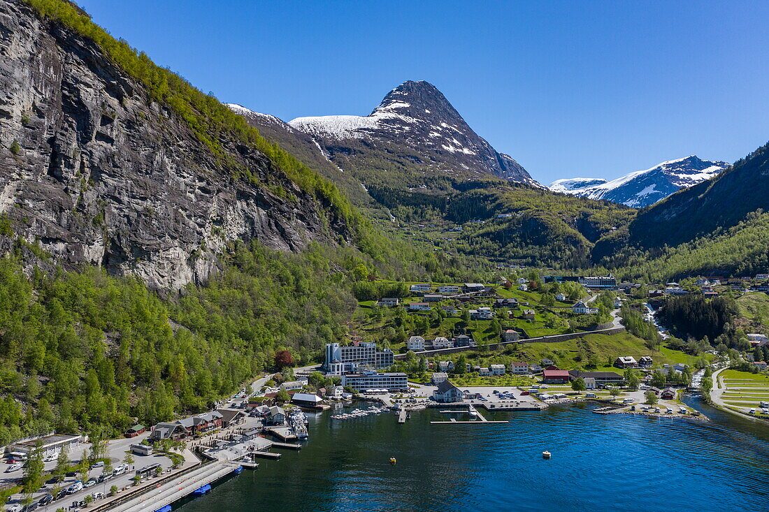
Geiranger Village
30 min drive
This harbor village serves as the central hub for the area and provides access to local services, museums, and food options.

Norway's most photographed fjord sits deeper inland than most first-time visitors expect, and the road that reveals it best climbs to 1,500 metres. This where is Geiranger Fjord located guide places the fjord on the map, names its region and municipality, and explains how the Dalsnibba plateau above Nibbevegen 451, 6216 Stranda fits into the picture.
Quick answer
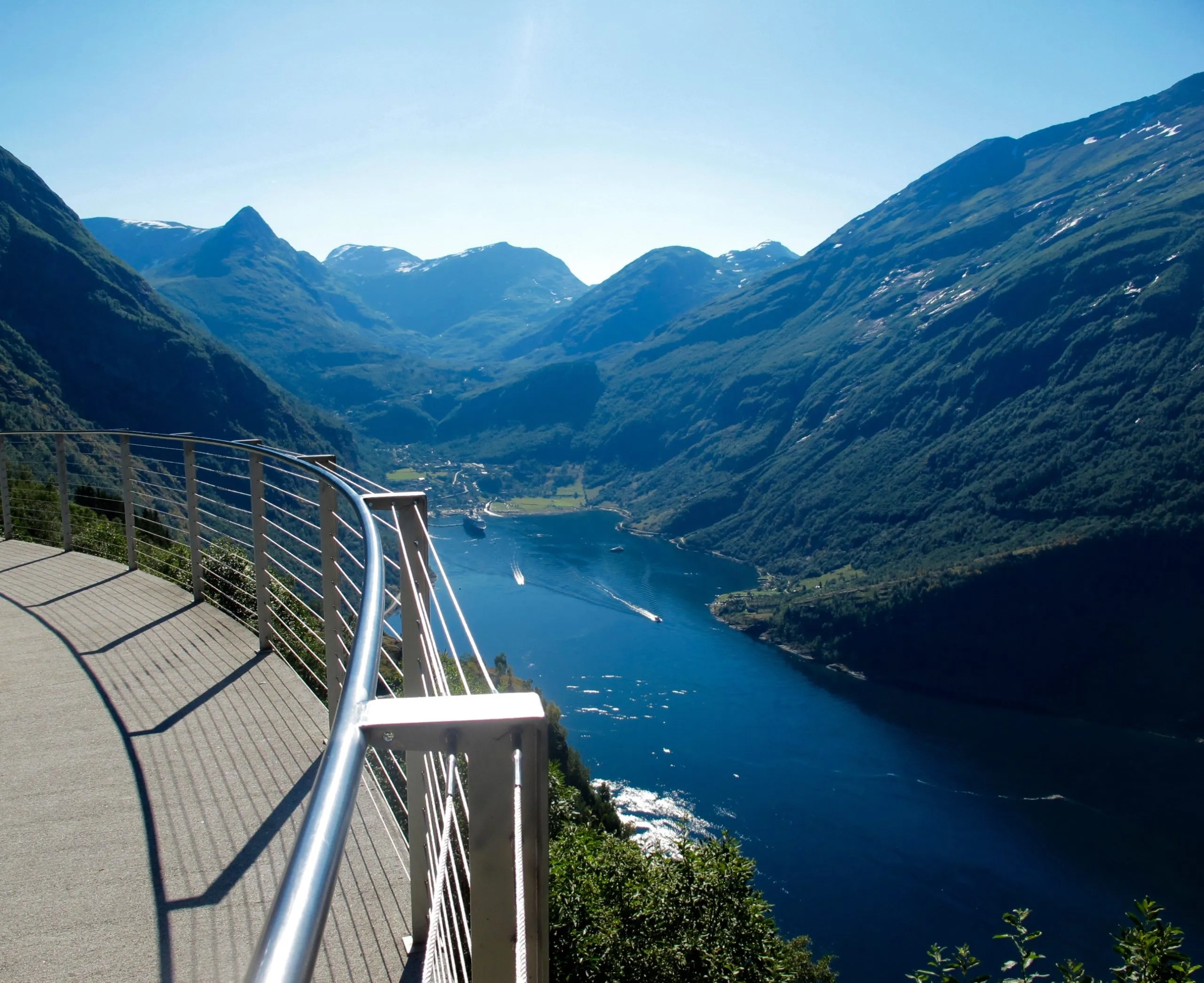
Geirangerfjord lies in Møre og Romsdal county, western Norway, forming a 15-kilometre branch of the Storfjord system and ending at Geiranger village. The Dalsnibba viewpoint that overlooks it stands at Nibbevegen 451, 6216 Stranda, reached by a toll road open 00:00–23:59 daily, though snow closes the summit road outside the summer months.
The fjord that appears on Norwegian postcards is not on the open coast. Geirangerfjord ends roughly 100 kilometres inland from the Atlantic, at the head of a narrowing branch of the Storfjord, hemmed by walls that rise more than 1,400 metres from water level. Travellers asking where is Geiranger Fjord located are usually surprised by how long the approach is: the ocean at Ålesund is a full day's detour away, and every route in crosses mountain terrain. Administratively, the fjord sits in Stranda municipality, Møre og Romsdal county, in the Sunnmøre district of western Norway. Norwegians call it Geirangerfjorden. Together with Nærøyfjord it was inscribed on the UNESCO World Heritage list in 2005 as the West Norwegian Fjords, a designation that governs everything from cruise emissions to construction along the shoreline. The waterfalls carry names as old as the farms above them — the Seven Sisters, the Suitor, the Bridal Veil — and the abandoned cliffside holdings of Skageflå and Knivsflå still cling to ledges that were farmed until the 1890s. The geography explains why so many itineraries pair the water with the heights. From sea level in Geiranger village the fjord is a corridor; from the Dalsnibba plateau it becomes a map. Nibbevegen, the private toll road that climbs from Djupvasshytta on the Geiranger–Grotli stretch of Route 63, ends at a stone-edged terrace at 1,500 metres with the Geirangerskålen bowl and the fjord's blue thread laid out below. Most Geiranger Dalsnibba tour routes combine the ascent with the Ørnesvingen hairpins on the far side, which is why the viewpoint answers a question about the water as convincingly as any boat does. The practical consequence of the fjord's position is seasonal. Snow controls the high road far more than any published schedule does, so summer and early autumn are when the plateau is reliably reachable — August 2026 sits comfortably inside that window. Anyone still working out where is Geiranger Fjord located before booking should plan the mountain leg and the water leg as one trip rather than two, since the same weather governs both. Detailed access notes, timings and costs are handled in the dedicated sections further down this page; what matters first is understanding that the fjord and its best overlook are 21 kilometres and 1,500 vertical metres apart, connected by a road that opens only when the mountain allows it.
“From sea level in Geiranger village the fjord is a corridor; from the Dalsnibba plateau it becomes a map.”
Dalsnibba is located south of Geiranger Fjord, accessed via the private toll road Nibbevegen. Travelers approach the viewpoint by following Fv63 from Geiranger toward Grotli before turning onto the mountain road.
Fv63 to Nibbevegen road
Geiranger to Dalsnibba local service
Follow signs for Nibbevegen 451, 6216 Stranda, Norway. Parking is available at the summit, and the road is accessible for passenger vehicles.
The toll road to the Dalsnibba observation point is open daily to visitors throughout the week. Access is available continuously, allowing travelers to reach the vantage point at any time of day.
The road is a toll-operated mountain pass that may experience seasonal closures due to winter snow conditions; please check official status before traveling.
Combining a visit to the Dalsnibba viewpoint with lower-altitude landmarks provides a comprehensive view of the Geiranger area's topography. These locations are situated along the primary routes connecting the mountain plateau to the fjord level.
30 min drive
This harbor village serves as the central hub for the area and provides access to local services, museums, and food options.
20 min drive
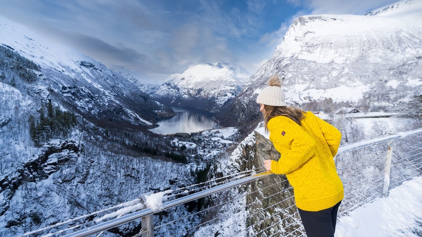
Positioned between the mountain summit and the fjord, this observation point offers a distinct perspective of the cruise ships below.
40 min drive
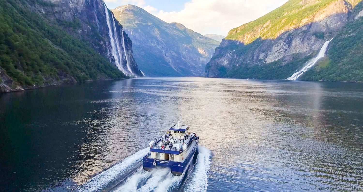
A boat tour from the village allows visitors to view the Seven Sisters and Suitor waterfalls from the water level.
45 min drive
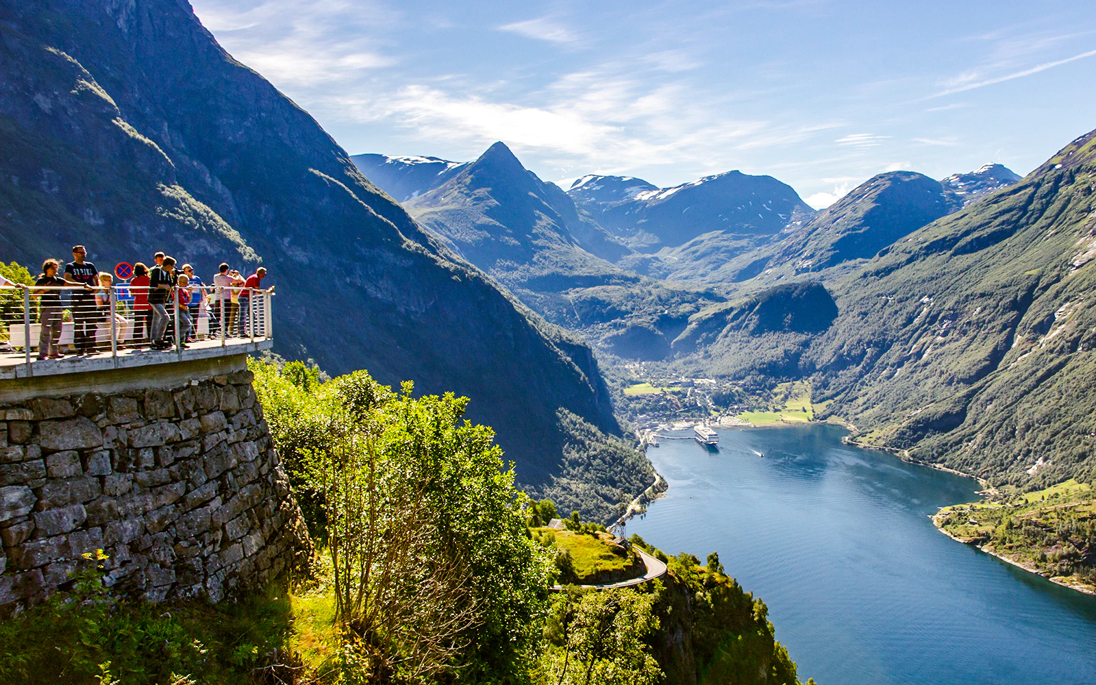
Located on the Eagle Road, this spot offers a view looking back down the entire length of the fjord towards the village.
Everything you need to know about where is geiranger fjord located
The Dalsnibba mountain plateau serves as the premier vantage point to see the landscape where is geiranger fjord located. It sits at an elevation of 1,500 meters above sea level, offering a high-altitude perspective of the surrounding valley. Visitors often look for information on where is geiranger fjord located to combine their fjord cruise with a scenic mountain drive. By planning your trip to the Geiranger fjord landmarks, you ensure a comprehensive experience of the Norwegian fjords. The entrance fee is 350 NOK per passenger car for the toll road. This fee supports the maintenance of the road leading to the summit. For those asking where is geiranger fjord located and how to reach the view, aim to arrive between 09:30 and 17:00 to avoid peak tourist crowds. This window provides the best access to the shop and café facilities. Yes, the site operates from 00:00–23:59 every day of the week, including all weekends. You can plan your visit at any time that suits your travel itinerary. Yes, the road is accessible by standard passenger cars. Ensure your vehicle is prepared for mountain driving conditions before ascending the Nibbevegen road. The official address is Nibbevegen 451, 6216 Stranda, Norway. This location marks the destination for those traveling to the high-altitude observation deck.